Travis Madsen
Policy Analyst
The unfolding events in Japan are a sobering reminder that nuclear power is a dangerous technology. Many U.S. reactors are located in areas where they could be vulnerable to harm in the event of an earthquake.
*Updated March 16, 2 PM Pacific*
The vulnerability of a reactor to an earthquake depends on two factors:
The World Nuclear Association estimates that 20 percent of nuclear reactors worldwide operate in areas vulnerable to earthquakes.
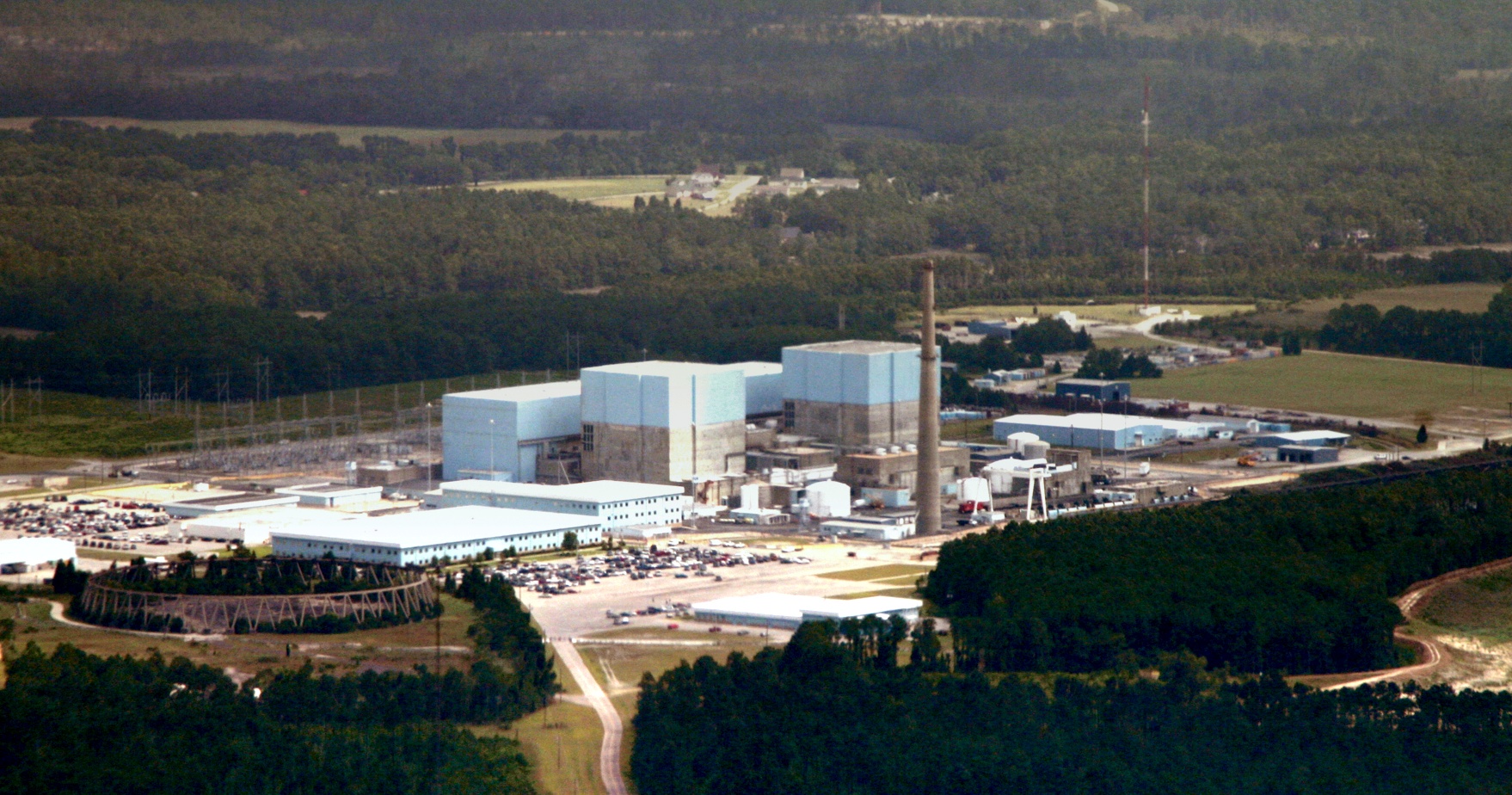
In the United States, several nuclear reactors in California and New York are located on or near known faults. Other parts of the country where nuclear plants now exist are seismically active, although not so much as the West Coast.
The U.S. Nuclear Regulatory Commission notes that the Midwest and Eastern United States, while less seismically active than the West Coast, still face an appreciable risk of earthquakes. The commission notes that in the early 1800s, three large earthquakes – between 7 and 7.7 on the Richter scale – affected the Eastern United States, with an epicenter in Missouri. Another similar earthquake struck Charleston, South Carolina in 1886.
Western Ohio is the second-most seismically active area in the Eastern United States behind Missouri. An earthquake there in 1986 affected the Perry nuclear power plant, for example, breaking pipes and equipment – but the plant had not yet begun operation.
Major earthquakes affected South Carolina, Missouri and Arkansas in the 1800s. One of them even made the Mississippi river run backwards for a time, according to a story by an investigative reporter at MSNBC.
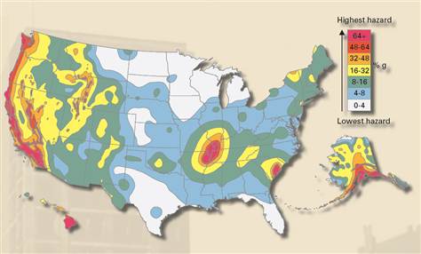
The U.S. Geological Survey has learned a lot about earthquake hazards in the last 30 years, after most U.S. nuclear reactors were designed and built. In 2008, the U.S. Geological Survey updated their assessment of seismic hazard across the United States. The update generally resulted in increased estimates of the frequency and strength of possible earthquakes in many locations. (See the map and link below.)
Using data from the U.S. Nuclear Regulatory Commission about the construction strength of the infrastructure at each U.S. nuclear reactor, investigative reporters at MSNBC have ranked the reactors in terms of the likelihood that the reactor could be damaged by an earthquake.
We explore this new information in our following post: How large of an earthquake could U.S. nuclear power stations withstand?
Policy Analyst